Conquering Chuzenji Lake: A Journey Around the Serene Waters
- タイム
- 6:00
- 距離
- 24km
- 上昇量
- 890m
中禅寺湖一周-2023-05-21 / Takuya Kobayashiさんの活動データ | YAMAP / ヤマップ
I walked around the Chuzenji Lake circuit trail to overcome my lack of exercise.
The distance around Chuzenji Lake is approximately 24 kilometers, and the accumulated elevation gain is around 890 meters (according to YAMAP).
Since it’s just a loop around the lake, it may seem like there is little difference in elevation, but when you actually walk it, there are continuous ups and downs of 5 to 10 meters, making it comparable to a small mountain climb in terms of accumulated elevation gain. The distance is also quite long, so the estimated time for the course is 8 to 9 hours.
When attempting to go around Chuzenji Lake, I recommend considering having enough time and proper equipment.
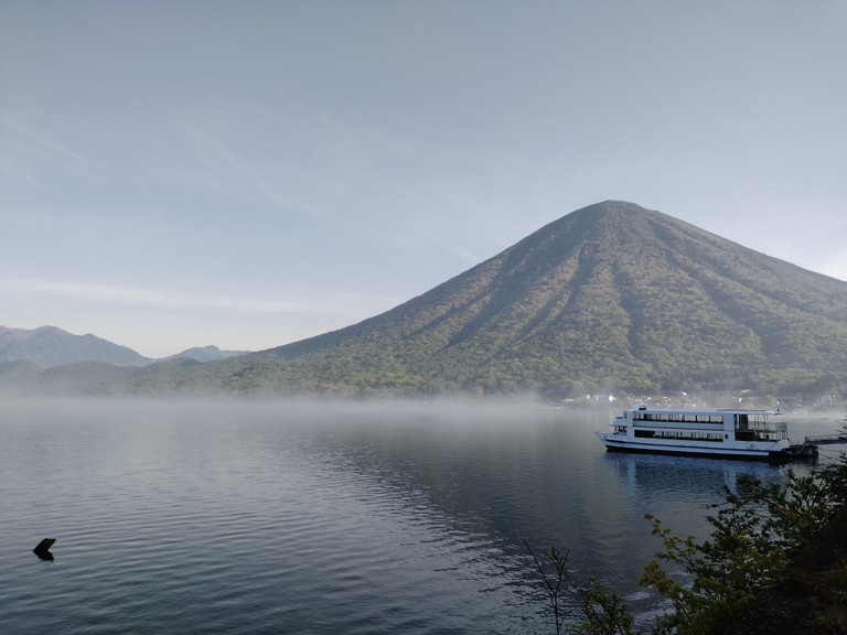
Chuzenji Lake, formed by the eruption of Mount Nantai
Chuzenji Lake, located at the highest altitude among natural lakes in Japan with an area of over 4 square kilometers (excluding man-made reservoirs), was formed approximately 20,000 years ago when the eruption of Mount Nantai dammed the Ooya River.
Arriving early due to my dislike of mornings.
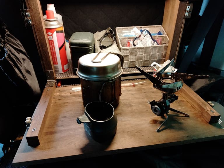
I enjoyed a nighttime drive on the empty roads while heading towards the parking lot near Chuzenji Lake. I spent the night there, engaging in car camping and embracing the darkness.

Setting off
After having breakfast, I strapped on my backpack and began my journey. Chuzenji Lake in the early morning was covered in a sea of clouds.
I took the clockwise route starting from the Italian Embassy Memorial Park. The trail began with a well-paved road and gravel path, but gradually transformed into a hiking trail.
Passing by the beach, Yatchijima Island, and Mount Nantai.

Although including Yatchijima Island would add an additional 1 kilometer to the distance, I decided to skip it this time.
Here’s a glimpse of the trail.

There were caution signs set up like gates, making it impossible to miss them.

There were various beautiful plants along the way.


Some parts of the trail were rocky.

There were also spots where spring water was flowing.

The roads around this area were so narrow that passing by someone was a tight squeeze. There were tree roots protruding, and stepping on them could result in a stumble towards the lake. It’s important to watch your step and be cautious.

This is the trailhead for climbing Mount Kurobi. On YAMAP, it was shown as a dashed line, but I’m curious to experience it firsthand and climb someday.

千手堂 Senju-do

The reflection of Mount Nantai on the lake is truly captivating. It adds a picturesque charm to the scenery.

I believe this area is Senjugahama Beach. The beautiful scenery was so mesmerizing that I forgot to take photos.

About 300 meters from Senjugahama Beach, there is a bus stop and restroom available.

As you continue from Senjugahama Beach, the number of people increases, and the trail is well-maintained.

The azaleas are blooming beautifully.

This area has some steep ups and downs.

We reached Route 120. There’s Ryuto Tea House over there.

There is also a pedestrian walkway alongside Route 120.

The lake was bustling with people enjoying activities such as fishing, yachting, and packrafting.


This is Futarakusan Shrine.
You can complete the necessary procedures at the shrine office to climb Mount Nantai.

“日光(Nikko)” was originally referred to as “二荒山(Futa-ara-yama)”.


お疲れ様でした。
The weather was perfect and the temperature was just right for a pleasant hike. I had a great time.
Since there’s a trail running race scheduled for next Sunday, I plan to take it easy and rest up in preparation for that day.


COMMENTS